My second year at the Liger Leadership Academy is going to end really soon, but by the time you’re reading this, it has already ended. Most of the year passed by really quickly. This year at Liger was way different from last year in terms of work and responsibility. I got to be involved in explorations which was something new this year. As some of the seniors mentioned in their blogs, there are five rounds of explorations in each school year and each exploration lasts 7 weeks. My five explorations are Geography Of Cambodia, Liger Wilderness Field Guide, Entrepreneurship, Theater Set Design, and Geography Book Design. All of my explorations has made at least little changes in spite of where the changes took place. Two of my explorations are soon going to really change Cambodia in the following months, before 2018 ends and they are Theater Set Design and Geography Book Design.
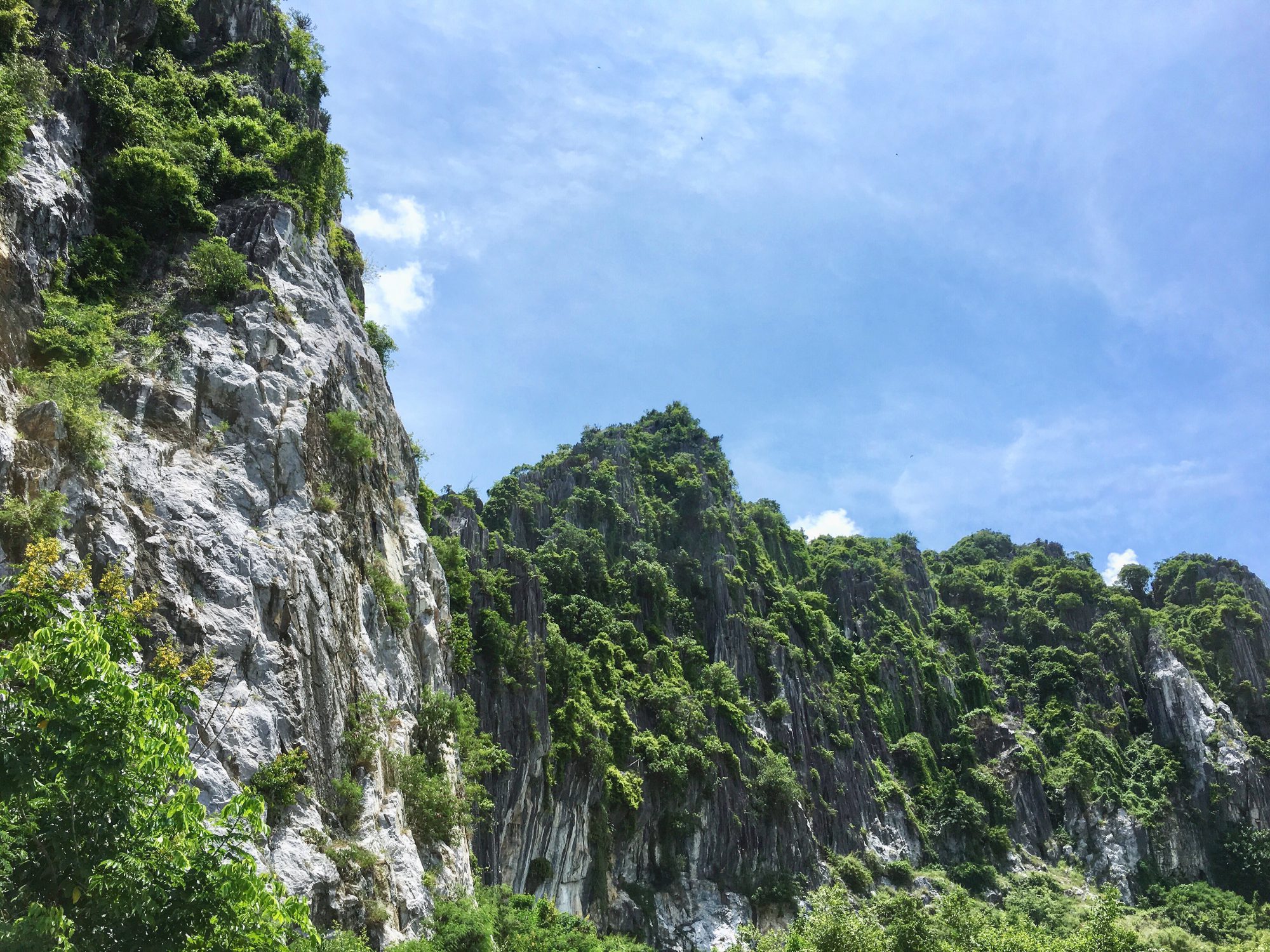
At the start of this year, one of the teachers started a project called the Cambodian Geography Book and the name is pretty self-explanatory. The goal of this project was to make a unique and interesting book about the geography of Cambodia for government schools and other people that are interested in learning about Cambodia. The project was divided into seven explorations and I was lucky enough to be in the first one; it was also my first exploration of the year. Our main goal in this exploration was to gather as much information as we can about the central and northern part of Cambodia; these two parts of Cambodia was referred to as region 1. The provinces in this region are Tboung Khmum, Siem Reap, Preah Vihear, Kampong Thom, Kampong Cham, and Oddar Meanchey. Our exploration was divided into three parts, pre-trip, trip, and post-trip. The pre-trip is the first three weeks, the trip is the week after, and the post-trip is the last three weeks. What we did during the pre-trip was gather information about the five themes of the provinces in our region. The five themes were physical systems, infrastructure, environment and society, location in spatial terms, places and regions. To make it easier to research, we split into groups of 3. Each group was assigned a theme to do research on; my group was assigned the theme physical system. The trip is self-explanatory; we went to the provinces in our region. Our goals for the trip was to experience the geographical highlights of each province and do interviews to get a story of any kind to put into the book. We got more than 27 interviews from the trip and the places that we went to were amazing. After we got back, we did research on the history of each province and made predictions. I’d say that this was a really good first step to making the book. Keep in mind that there are six more explorations related to the Cambodian Geography book, three of them is the same as this one, except that they each focused on a different region of Cambodia and the other three explorations focused entirely on book publication.
My fourth exploration of the school year was Theater Set Design. This exploration is the first part of the Network play; the second part focused entirely on acting. On the first week, we did research on set design, what it is, the types of set design, the aspects of it, and how it affects plays. Then, we looked at the script of the play we were going to work on. The Network was written by Christian Kiley and it is about how social networks or media that many people use daily, affect us and the side effects of it. After learning about the different types of set design and what they do, we split into groups based off the one we were interested; I was interested in sound design, so I was in that group. We were given the choice to change groups later too if we didn’t like it, but I stuck with sound design till the end. We watched documentaries about set design, some behind-the-scenes videos of some plays, and even some plays of The Network, just to get a better understanding of set design as well as some ideas on what we could do for our play. The goal of the exploration was to basically do as much as possible to support the actors and the play itself. We discussed on what we could do for the play, and what theme we were going to use, so that we can all get an idea of the big picture and then we split into our groups. What I did during the remaining weeks was went through the script, marked parts that could use sound(s), downloaded the sounds, and loaded or put it into a pad that would help us with playing sounds during the play. Every few days we would meet, discuss, rehearse, or do an activity that our facilitator made. The play was at the end of the school year which was about 2 months after this exploration ended. It took place in Phnom Penh and we had one day and a half to prepare and rehearse. It was a bit difficult at first, but after a few rehearsals, it became less difficult. There were three performances, one for some schools, one for Liger, and another one for the public. I have to say, the performances were great and I had a lot of fun being part of this exploration as well as changing people’s mind on social networks with the play.
Geography Book Design was my fifth and last exploration of the school year. As I mentioned before, there are 3 explorations related to the Cambodian Geography book that focused entirely on book publication and this is one of them. The design exploration or team was consisted of 8 students. Although this exploration took place in the last round of this school year, the team was actually created way back at the end of last school year and that was because we needed to learn two programs that would help us make the book, Adobe inDesign and ArcGIS. For the first two weeks, we, along with people from the two other book publishing explorations worked in groups based off our geography exploration or region to finish up and finalize our information so that it would be easier to work when we split into our actual teams to make the book. The weeks after, we worked separately in our explorations or teams. The duty of the two other teams was to go over the everything from each province and double check the information, and language which includes translation, vocabularies, spelling, etc. For the design team to be able to do their job which is taking a province’s information and putting it together into book form, they need it to be checked first; unless a province is checked, the design team cannot do much with it. In the design team, each student had a job; I was both a mapmaker and a designer. During the 7 weeks, we were able to finalize the book cover and put together many provinces such as Siem Reap, Battambang, Preah Sihanouk, and Ratanakiri. Originally, the deadline of the Cambodian Geography project was the end of this school year, but because when we looked at the progress of the book again, we realized that the book itself was becoming more of a typical informational, but boring book which was not the goal of the project. There were things that we needed to consider, so we extended the deadline to the next school year. The three teams met on the fourth week and gave each other ideas or ways on making the book more unique and interesting. For the rest of the 7 weeks, we continued doing our jobs but with the newly thought out ideas applied. What will happen next school year is there will be another round of this same exploration, but with a few new people in the design team to put everything together and have a finished book hopefully before 2018 ends.
This year at Liger was really amazing. Changing people’s minds on social media with a play was really fun and scary at the same time. Next year, the Cambodian Geography Book will be a real product and it will help many people including foreigners to understand Cambodia better. I’ve always wanted to make an impact in people’s lives and in this year at Liger, I did and I don’t wish to stop.